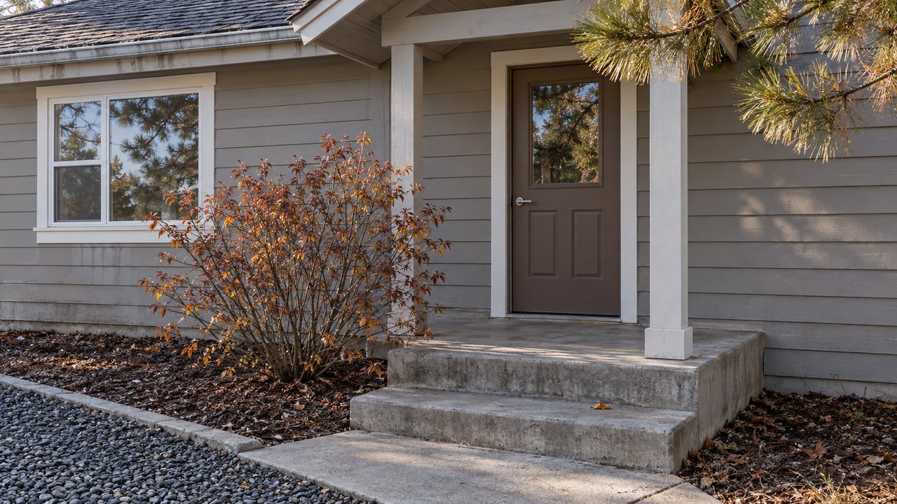
Asotin Creek Took Back Its Shooting Range. The Road Up There Closes Dec. 1.
November 12, 2026
November 12, 2026
In July, water was still flooding the field where the shooting bench and target backstop stood on the Asotin Creek Wildlife Area. Washington Department of Fish and Wildlife says the flood of March 15, 2026 cut new channels through the range and the field next to it. When WDFW answered public comments in June, it reported the site still wet, with creek water moving across the surface and also underground through the soil and gravel.
That field sits where Lick Fork Road meets South Fork Road, and it is now being handed back to the North Fork for good. Under WDFW's plan, the covered bench comes out, the lead-contaminated soil in the backstop gets removed, and the ground is restored as streamside habitat. The wildlife area's use was already shifting before the flood. The year before, WDFW opened its first designated campsites in the drainage, so the place is moving from somewhere people drove up to shoot toward somewhere people stay overnight. You can still drive in and see that change for a short time this year. The county road gate closes to motor vehicles on Dec. 1 and stays shut through March 31.
WDFW made the closure permanent in a July 13, 2026 news release. Wildlife Area Manager Bob Dice explained why the agency will not try to fix the site:
"Water continues to flood the field where the target backstop and shooting bench were located. It is not feasible or environmentally possible to move the creek back into the original channel. Instead, it's meandering and forming new channels."
In the same release, Dice said it "began unofficially as a place where a handful of members of the public would sight in hunting rifles and grew in popularity," and that WDFW and volunteers added the amenities over time. Eric Barker, writing in the Moscow-Pullman Daily News on July 19, called it an informal spot that the spring flooding blew out and that would not be refurbished.
People who used the range pushed back during the comment period. Several asked WDFW to wait for the ground to dry, rebuild the backstop with clean soil, or move the range somewhere else on the wildlife area. One comment summed up the loss: "Other good places to shoot are not readily available." WDFW gave the same answer to all of them in its June response to public comments: "We have all feared that one day a flood event would severely damage the range. That day happened in March." The response adds, "Water has never flowed around the range like it is now."
The response document also explains why WDFW won't just push the water back. Putting the creek back where it was would carry "extreme environmental cost," run into permitting problems, and could harm listed salmonid stocks. In the July release, WDFW said this kind of shifting is natural for many creeks, "particularly ones that were moved by human activity in the past," as they work back toward their original paths and floodplains.
The North Fork has had a lot of scientific attention for years. The Asotin Creek Intensively Monitored Watershed project studies steelhead habitat in Charley Creek and in the North and South Forks. Its reports describe "structural starvation" in these streams, caused by historic wood removal, beaver trapping, repeated floods, and channel straightening. The project's response is to add large wood held in place by post-assisted log structures. Those structures make the channel more complex and help high water spill over onto the floodplain. What the March flood did at the range is the kind of floodplain connection that restoration work tries to build on purpose, this time at a spot nobody planned.
The range closed at a bad time of year. Target shooting had been banned on WDFW-managed land during the summer fire-season restrictions, and in eastern Washington it was allowed again on Sept. 16. On most WDFW land it is now allowed again under the agency's target shooting rules. Those rules generally limit shooting to designated areas or to spots with a proper earthen backstop, and they don't override posted closures like the one at the old range. WDFW enforcement officers keep patrolling the former range site.
In its comment response, WDFW pointed people to the Lewis-Clark Wildlife Club range near Lapwai, calling it "supervised and far more developed" than the Asotin Creek site. According to the club's website, the range at 27007 South Tom Beall Road is open to the public and has:
The club lists a $20 daily shooting pass. Call 208-843-2987 to check range days before you drive over.
Before the flood, WDFW had already started building the drainage up for overnight stays. In September 2025 the agency opened two designated campsites on Lick Creek Road, at Sourdough Gulch and Cabin Gulch. They are the first designated camping on the wildlife area. Dailyfly reported that both sites are free and first-come, first-served, with gravel pads for tents or campers and a limit of 21 days in any 30-day period. Grants from the Washington Recreation and Conservation Office paid for them.
The same story listed where the grant would add restrooms: the North Fork Asotin Creek trailhead, near the Smoothing Iron buildings, and the shooting range. Six months after that list came out, one of those sites was underwater. WDFW's facilities listing for the unit still says there is no restroom. It names three parking areas: the confluence of Lick Creek and the North Fork, the South Fork hayshed, and near the Smoothing Iron Ranch buildings in Warner Gulch. According to the WDFW unit page, you need a Discover Pass to park on WDFW land unless you have the Vehicle Access Pass that comes with an eligible hunting or fishing license.
Once the gate closes Dec. 1, motor vehicles can't use the county road until April 1. That rule covers motorized travel only. Most of the late-season calendar runs well past that date. These dates come from WDFW's 2026 big game hunting regulations and migratory and upland game bird regulations:
| Season | Dates | Where |
|---|---|---|
| Modern firearm special-permit deer, choice 1202 | Nov. 7–19 | GMU 172 |
| Modern firearm special-permit deer, choice 1204 | Nov. 20–24 | GMU 175 |
| Late muzzleloader general deer | Nov. 20–Dec. 8 | GMU 172 |
| County road gate closes to vehicles | Dec. 1 | Asotin Creek unit |
| Forest grouse | Through Jan. 15 | Statewide |
| Pheasant and gray partridge | Through Jan. 18 | Eastern Washington |
| Chukar | Through Jan. 31 | Eastern Washington |
The general modern firearm seasons in GMUs 172 and 175 have already ended. Deer closed Oct. 27, and spike elk closed Nov. 8. WDFW stocks pheasants on the unit every fall. The 2026 District 3 Hunting Prospects report also warns that spring flooding changed major streams across the region enough to affect traditional roads and crossings. Questions about current access go to Bob Dice's office in Clarkston at 509-758-3151.
The gate dates follow the reason WDFW holds this land in the first place. The agency says the property was originally bought to protect big-game winter range and elk calving grounds. The Prospects report describes what happens next. In early winter, elk leave the Asotin Creek Wildlife Area for private farm ground, and WDFW created Elk Area 1075 to use hunters to push them off private land in the Lick Creek unit and limit crop damage. If you want to look for them before that move, WDFW says elk can be seen on Smoothing Iron Ridge, mostly in the early morning and evening. Bighorn sheep show up near the North Fork trail in spring.
The seasons and pass rules above are general information drawn from WDFW publications, not legal advice. Check the current regulations or call WDFW about your own hunt before you go.
Once the gate is shut, things in town keep going. The Asotin Lions Club Lighted Christmas Parade runs Dec. 12, with lineup at 4:15 p.m. at Asotin City Park.
If you live in Asotin, the creek drainage above town is part of what makes your place worth having, and that holds whether you're on a lot in town or on acreage up the road. If you're wondering what your property is worth heading into winter, Kiley Waldemarson can put together a free home valuation built on what's actually selling around Asotin right now.
Stay up to date on the latest real estate trends.
I am committed to guiding you every step of the way—whether you're buying a home, selling a property, or securing a mortgage. Whatever your needs, I've got you covered.

909 Bryden Ave Lewiston, ID 83501